


Year 4 Geography Curriculum
Children will be taught three key strands of geographical knowledge, consider the subject’s relevance to our chosen Modern Foreign Language (Spanish) and a selection of necessary skills to become geographers. Pupils will be encouraged to interpret and navigate a variety of maps, in physical and digital forms, as well as drawing many of their own with suitable symbols and scale. They will be taught…
An Area of Human Geography: Climate Zones
- To locate specific world countries (Russia, China, India, Japan, Australia) from different continents and identify capital cities and relevant human features.
- To consider why country borders may exist and how they could shift over time.
An area of Physical Geography: Climate Zones
- To locate specific world countries (Russia, China, India, Japan, Australia) from different continents and identify their environmental regions, climate zones and additional key physical features.
- To describe and understand different climate zones and biomes, and why they exist.
- To describe and understand the water cycle and the part it plays in vegetation belts and climate zones.
- To describe and understand north and south hemispheres, tropics of Capricorn and Cancer and the arctic circle.
A range of Geographical skills: Map Reading, Map Making & Fieldwork
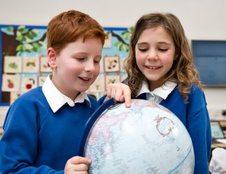
- To use world maps, atlases, globes and digital maps to consider time zones.
- To use simple grids and give directional instructions up to 8 cardinal points.
- To use six-figure coordinates to locate features.
- To devise a map of a short route with features labelled and to scale.
- To make a plan of a garden, play park to scale.
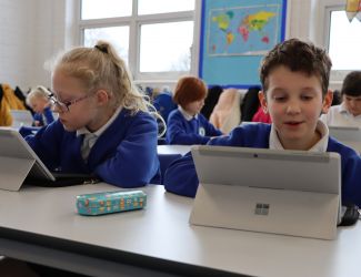
- To use digital maps to highlight and measure area.
- To use digital maps to search by grid reference.
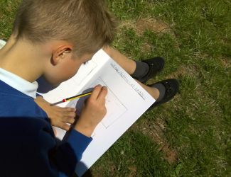
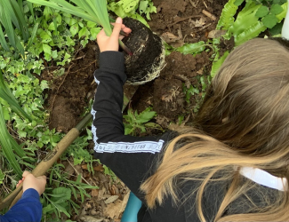
- Use fieldwork and observational skills to measure, record and present physical and human features of a local area, including a range of methods: sketch maps, plans, graphs and digital technologies.
- To consider the importance of qualitative and quantitative data through a local farming project.
MFL Links: Spanish Climate
- To explore other Spanish speaking countries and compare the climate of these locations.
- To identify weather patterns in Britain and these countries.
- To plot these countries on a map, talking about their location to the equator and the hemispheres.