Geography
Geography at our schools is a dynamic and forward-thinking subject that sparks curiosity about the world and its people. Through the exploration of both human and physical geography, pupils gain a deep understanding of their local environment, their country, and the wider world. Our curriculum is carefully designed to help children build a strong knowledge of global locations, places, and geographical features, while also developing an understanding of the processes that shape our planet and influence human activity. As they progress, pupils become proficient in essential geographical skills such as map reading, fieldwork, and data analysis. Geography also encourages meaningful connections across the curriculum, particularly with subjects like Spanish and History, enriching pupils’ learning and broadening their global perspective.
Nursery
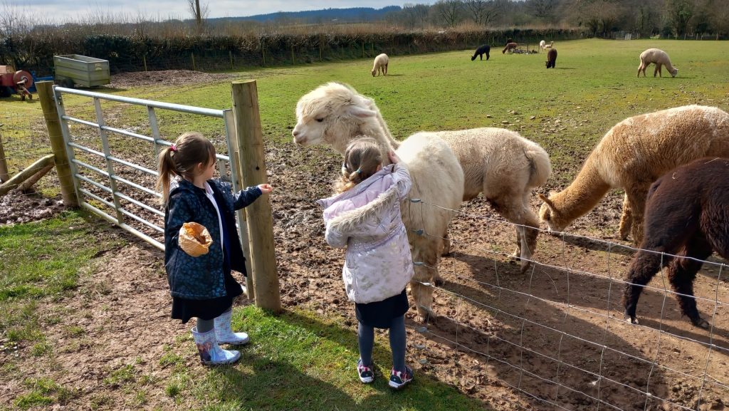
In Nursery, pupils begin to explore geography by learning about their immediate surroundings and the people and places that are familiar to them. They talk about their homes, families, and what they see on their way to school. Through stories, photos, and simple maps, they begin to understand that different people live in different kinds of homes and places. Pupils enjoy seasonal walks where they observe changes in the weather and nature, helping them to notice how the world around them changes over time. They also begin to explore different environments through play and storytelling, such as forests, farms, and oceans, laying the foundation for understanding the wider world.
Understanding the World
Understanding the world involves guiding children to make sense of their physical world and their community. The frequency and range of children’s personal experiences increases their knowledge and sense of the world around them – from visiting parks, libraries and museums to meeting important members of society such as police officers, nurses and firefighters. In addition, listening to a broad selection of stories, non-fiction, rhymes and poems will foster their understanding of our culturally, socially, technologically and ecologically diverse world. As well as building important knowledge, this extends their familiarity with words that support understanding across domains. Enriching and widening children’s vocabulary will support later reading comprehension.
Reception
In Reception, pupils build on their early experiences by exploring a broader view of the world. They learn to describe their local environment using maps, drawings, and digital tools, and begin to compare it with other places around the world. Pupils talk about different types of weather, landscapes, and homes, and they begin to understand that people live in many different ways depending on where they are. Through engaging topics such as journeys, habitats, and space, they explore how environments vary and how they can be cared for. Seasonal walks and photo comparisons help them observe and describe changes over time, encouraging curiosity and a growing awareness of the world beyond their own community.
Understanding the World
Understanding the world involves guiding children to make sense of their physical world and their community. The frequency and range of children’s personal experiences increases their knowledge and sense of the world around them – from visiting parks, libraries and museums to meeting important members of society such as police officers, nurses and firefighters. In addition, listening to a broad selection of stories, non-fiction, rhymes and poems will foster their understanding of our culturally, socially, technologically and ecologically diverse world. As well as building important knowledge, this extends their familiarity with words that support understanding across domains. Enriching and widening children’s vocabulary will support later reading comprehension.
Year 1
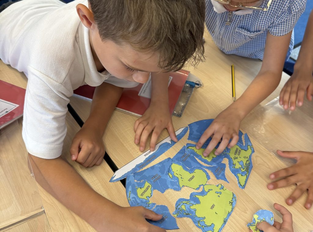
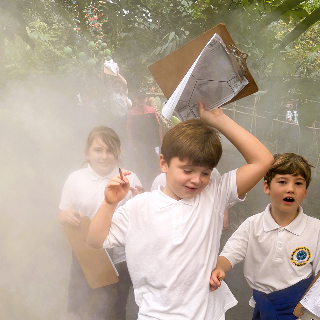
In Year 1 Geography, children begin to explore the world around them by learning how to read and create simple maps, starting with their school and local area. They investigate cold climates, comparing their own environment with places like Antarctica, and learn to identify physical and human features. As the year progresses, they explore how they travel to school, observe seasonal weather patterns, and discover the countries and capital cities of the UK—especially through the theme of castles. They finish the year by learning about the world’s continents and oceans, creating simple maps with keys, and exploring British beaches. These topics are brought to life through practical activities and investigations that help children make meaningful connections with the world they live in.
Region Comparison
- Compare physical and human features of the local area with Antarctica, focusing on climate, wildlife, and human activity.
- Explore differences between British beaches and other global coastlines through the study of oceans and seas.
Physical Geography
- Identify cold climates and understand their location in relation to the equator.
- Observe seasonal weather patterns and how they affect daily life and clothing choices.
Map Making & Fieldwork
- Create simple maps of the school and local area, including planning a dog walk using Digimaps.
- Use aerial photographs to identify human and physical features around the school.
Spanish Links
- Learn vocabulary related to pets, farm animals, and weather, supporting cross-curricular links with local and global geography.
Year 2
In Year 2 Geography, children develop their understanding of the world through a range of exciting and meaningful topics. They begin by exploring London—locating it on a map, identifying famous landmarks, and comparing how it has changed over time. As the year progresses, they learn about the UK during World War II, investigate their local area by creating maps, and compare life in the UK with Kenya. Children also take part in hands-on fieldwork, such as traffic counting, and revisit the continents while exploring countries and their key features. These engaging topics are brought to life through practical activities and investigations that help children make real-world connections and deepen their geographical understanding.
Region Comparison
- Compare London and Exeter/Barnstaple during WWII, identifying similarities and differences in human and physical geography.
- Explore the UK and Kenya, comparing climate, landscapes, and daily life.
Physical Geography
- Study landmarks and natural features in London and Kenya.
- Investigate habitats and climate zones through the lens of animal adaptation and global biodiversity.
Map Making & Fieldwork
- Use Digimaps to explore London past and present.
- Conduct fieldwork such as traffic counting, including planning, data collection, and evaluation.
- Create maps with keys to represent villages, towns, and cities.
Spanish Links
- Reinforce geographical understanding through Spanish vocabulary on foods, animals, homes, and family, supporting cultural awareness and global citizenship.
Year 3
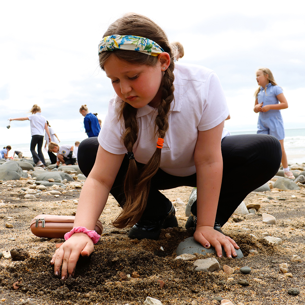
In Year 3, pupils develop their understanding of geographical similarities and differences through a comparative study of regions in the UK, Europe (Italy and Spain), and Central America (Belize and Mexico). This is closely linked to their historical studies of the Roman and Mayan ancient civilisations. Through project-based learning, pupils engage in a land use comparison of Exeter—past and present—using fieldwork to collect data on human features such as housing and public spaces. They then translate this data into maps and graphs. Pupils also begin to use atlases, aerial views, and digital tools to interpret and annotate maps, apply 4-figure grid references, and estimate distances using scale bars, laying the foundation for spatial awareness and analytical thinking.
Human Geography
- Compare human features of regions in the UK, Europe (Italy/Spain), and Central America (Belize/Mexico).
- Investigate land use in Roman and modern Exeter, identifying changes over time
Physical Geography
- Describe and compare physical features such as mountains and volcanoes across studied regions.
- Locate hot and cold areas of the world in relation to the Equator.
Geographical Skills
- Use atlases, globes, and aerial views to interpret geographical information.
- Apply 4-figure grid references and scale bars to estimate distances and locate features.
Fieldwork & Map Making
- Conduct a land use survey in Exeter, collecting data on buildings and public spaces.
- Create maps and graphs to present findings using digital tools and annotation features.
Year 4
Year 4 focuses on the study of climate zones, biomes, and the water cycle (linked heavily with STEM learning), with pupils investigating how these physical features influence human activity. Fieldwork in this year group includes collecting and comparing rainfall data locally and globally, using digital maps and weather applications, as well as measuring containers outside their classrooms. Pupils also participate in a farming land use investigation as part of the Blackthorn Awards project, gathering and analysing data from local environments. Pupils use digital tools to highlight and measure areas, enabling them to identify patterns and draw conclusions about environmental regions and their impact on human settlement.
Human Geography
- Compare human activity and settlement patterns in the UK and global regions such as Kenya, China, and Australia.
- Investigate farming practices and land use through local studies.
Physical Geography
- Identify and describe climate zones, biomes, and vegetation belts.
- Understand the water cycle and its impact on different environments.
Geographical Skills
- Use thematic maps and 6-figure grid references to explore environmental patterns.
- Apply latitude and longitude to locate global regions.
Fieldwork & Map Making
- Collect and analyse rainfall data locally and globally using weather apps and digital maps.
- Create scale plans and use digital tools to highlight and measure geographical features.
Year 5
In Year 5, pupils explore the physical geography of rivers and coasts alongside the human geography of Britain’s regions. A key project involves a detailed river study during their residential trip, where pupils investigate changes in river characteristics from source to mouth. They collect data on depth, width, and riverbed composition, which is then used to create scale maps and fieldwork reports back at school. Pupils also begin to examine coastal features and processes such as erosion and deposition. These projects provide a comprehensive understanding of how physical processes shape the landscape and influence human activity.

Human Geography
- Investigate land use, settlement types, and economic activity in different UK regions.
- Compare British and Spanish rivers and coasts in terms of human interaction and development.
Physical Geography
- Describe river and coastal features, including erosion, deposition, and landform changes.
- Identify topographical features such as hills, valleys, and floodplains.
Geographical Skills
- Use sketch maps, thematic maps, and aerial photographs to interpret landscapes.
- Apply 6-figure grid references and use digital tools to measure distances and areas.
Fieldwork & Map Making
- Conduct a river study during residential fieldwork, measuring depth, width, and bed composition.
- Create detailed fieldwork reports and scale maps to present findings.
Year 6
Year 6 pupils undertake an in-depth study of global trade, economic activity, and the impact of physical changes on the Earth since 1800 as they also develop companies of their own as part of the Global Enterprise Challenge. A key project involves investigating the Green Belt around London, where pupils observe and analyse human and physical changes during travel on their residential. They consider the implications of urban development and propose sustainable solutions for the future. Pupils design thematic maps, interpret relief features, and explore different map projections. These experiences prepare pupils to think critically about global interdependence and environmental change.
Human Geography
- Analyse global trade, economic activity, and the distribution of natural resources.
- Evaluate the impact of urban development through a Green Belt study around London.
Physical Geography
- Describe physical changes to the Earth since 1800 and predict future changes by 2050.
- Interpret relief features and environmental transformations using thematic maps.
Geographical Skills
- Use latitude, longitude, and map projections to locate and compare global regions.
- Design and interpret thematic maps using digital mapping tools and spatial data.
Fieldwork & Map Making
- Conduct fieldwork on land use and environmental change, collecting and analysing data.
- Use advanced digital tools to combine data layers, annotate maps, and present geographical themes.
Address
Contact
Contact: admin@tcat.education
Phone: 01392 304040
© The Cornerstone Academy Trust 2025