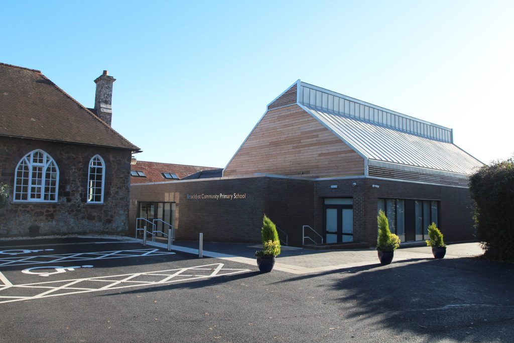
Fieldwork Progression
Fieldwork is a vital part of our Geography curriculum and is embedded across all year groups. It provides opportunities for practical learning and inquiry, allowing children to act as real geographers.
Year 1
Fieldwork Activity Suggestion for Term 1
Local Features Walk & Discussion
Walk around the school and local area; try and describe the human and physical features you see.
Back in class, discuss why these features might exist where they do.
Draw a map that demonstrates the journey and features that were seen on the tour.
Year 2
Fieldwork Activity Suggestion for Term 1
Travel to School Enquiry
Consider how children in the class travel to school and how far, by running a poll or survey. Explore how Kenyan children travel to school, including the distances – using maps to track this.
Count traffic at specified times of day near the school and consider the types of vehicle that travel passed.
Back in class, draw bar graphs of the gathered data to share vehicle usage, travel times.
Year 3
Fieldwork Activity Suggestion for Term 2
Land Use comparison of Exeter (400AD vs Now)
Compare the Roman city of Exeter to the contemporary city of Exeter, with a focus on land use discussions and why the human features may have changed over time, yet the physical perhaps have not. There are resources on this found in BBFC Exeter over Time.
Create maps that evaluate these changes and use primary/secondary resources to inform decisions.
When in Exeter on History field trip, collect data on the number of houses, shops, flats, parks, libraries etc in a tally – which can be turned into graphs back in class.
Fieldwork Activity Suggestion for Term 3
Land Use comparison of the Yellow River (Shang vs Now)
Compare the Yellow River settlements now and from Shang China, with a focus on land use discussions and why human features of changed. Where are the larger cities of China now located (using maps to identify this) and consider the movement of population away from the Yellow River
Year 4
Fieldwork Activity Suggestion for Term 1
Rainfall Data Collection
In class, pupils leave a measuring container outside for an allotted period of time to measure the amount of rainfall (over a week perhaps). They then translate this data onto a linegraph or bar graph.
Using a digital map/globe, identify countries from different climate zones and track their rainfall on a credible weather web-app. Plot these in a similar line graphs to compare rainfall across the globe. Can a pattern be drawn between these?
Fieldwork Activity Suggestion for Term 3
Farming Land Use Investigation
When undertaking the Kingfisher project, local data can be gathered from fields, woodland, hedgerows, countryside and farmland to identify select themes from the competition.
In class, graphs can be designed to
Year 5
Fieldwork Activity Suggestion for Term 3
Local River Study
Explore different drop points along a local river to identify changes from the source to the mouth, with a focus on depth, width and bed. This will be led within the Year 5 residential and can have pre and post-work done on the subject.
In class, draw a scale map of this river as part of a fieldwork report to share at the end of the study. Create a detailed report on the features of the river and how it changes from source to mouth. Finally, consider the human or physical changes that occur and why this might be the case.
Year 6
Fieldwork Activity Suggestion for Term 2
Green Belt Investigation
When travelling to Lond (before, during and after) consider the Green Belt that is setup around London and why this might be the case. A discussion should be held to consider the importance of this. During travel, identify changes in the environment in both Human and Physical means.
Back in class, consider how London has changed over time and whether these human alterations are for the better. Is there more that could be done?
Address
Contact
Contact: admin@tcat.education
Phone: 01392 304040
© The Cornerstone Academy Trust 2025